Land for Sale in Watauga County, North Carolina
If you work remotely and want mountain land, Watauga County should be your first search. Roughly 79% of the county has fiber internet coverage — the highest rate in Western North Carolina by a wide margin — thanks to SkyLine/SkyBest’s investment and the broadband ecosystem that Appalachian State University’s 20,000 students demand. At 3,300 feet, Boone is one of the highest-elevation towns in the eastern United States. This is genuine high country with genuine broadband, and that combination is rarer than it should be.
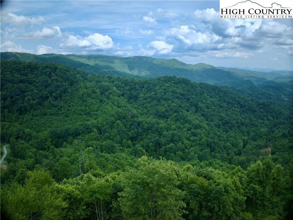
Watauga’s communities each have distinct character. Boone is a college town through and through — lively, young, with restaurants and cultural amenities that reflect App State’s influence. Blowing Rock, just to the south, is boutique mountain living with galleries, upscale shops, and views from the Blue Ridge Parkway. Valle Crucis, tucked into a pastoral valley off Broadstone Road, feels like a postcard from a century ago — the original Mast General Store still operates there. Todd, on the New River, draws kayakers and fly fishermen. Sugar Grove and Foscoe connect the Boone corridor to the Banner Elk ski country in neighboring Avery.
Watauga Medical Center in Boone provides solid hospital services, and the overall infrastructure — roads, cell coverage, utilities — is better than most WNC counties thanks to the university’s presence. Prices are moderate for the region: less than Buncombe’s Asheville premium, but higher than the deeply rural counties like Madison or Yancey. The university creates steady real estate demand, which supports values but also means competition for desirable parcels.
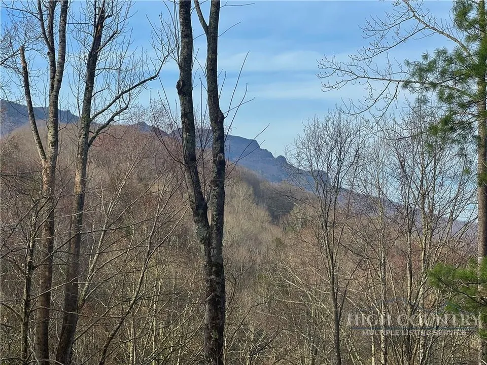
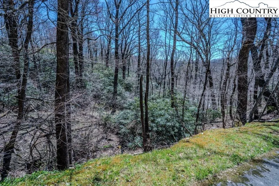
The tradeoff in Watauga is winter. At 3,300 feet and above, Boone gets real winter weather — regular snow, ice storms, and cold that tests both driveways and resolve. Steep parcels at high elevation need serious attention to road access and slope stability. PerfectPlace maps every parcel with elevation, buildable slope, USGS-verified creek access, fiber availability, and road frontage type. In a county where fiber coverage is the headline attraction, we also show you the terrain data that determines whether you can actually get to that well-connected mountaintop.